Salpausselkä Geopark
Welcome to the official website of Salpausselkä Geopark!
UNESCO designated Salpausselkä Geopark, situated in the Lahti region in southern Finland, tells the story of the best-known geological entity of Finland. The First and Second Salpausselkä are unique ice-marginal formations laid down by ancient meltwater streams at the end of the Ice Age. They reach across the entirety of southern Finland and are at their most spectacular in the area of Salpausselkä Geopark. Here they are joined to eskers of international value, such as the picturesque Kelvenne Island and Pulkkilanharju Esker in Päijänne National Park.

Media release 13-April-2022: UNESCO Global Geopark designation to Salpausselkä Geopark
#salpausselkägeopark
#salpausselkageopark
#createdbywater
Explore the sites
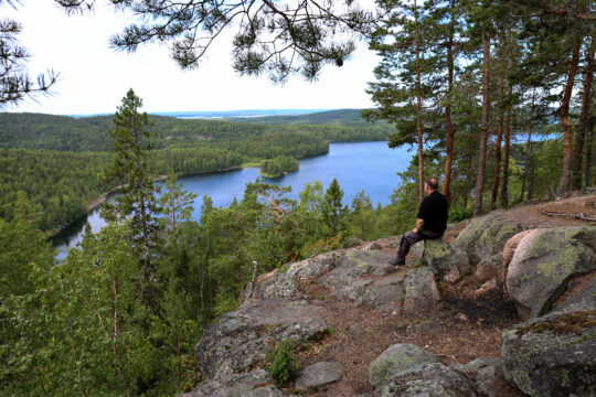
Scenic views
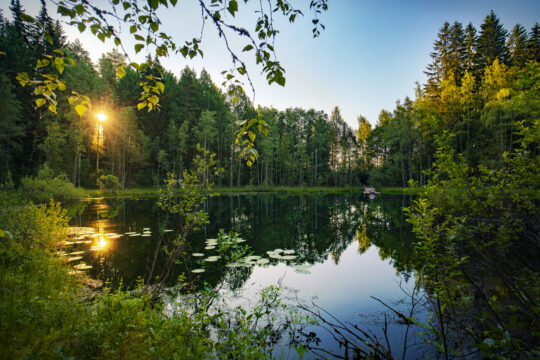
Steep-sided ridges, hills with rocky outcrops and viewing towers offer magnificent views of the surrounding nature. Admire the breathtaking Salpausselkä UNESCO Global Geopark landscapes and enjoy the peace and quiet.
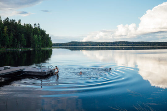
By the water
The hundreds of lakes in the area range from small kettle ponds to Finland’s second-largest lake, Päijänne, and they offer stunningly beautiful scenes and superb opportunities for recreational activities.
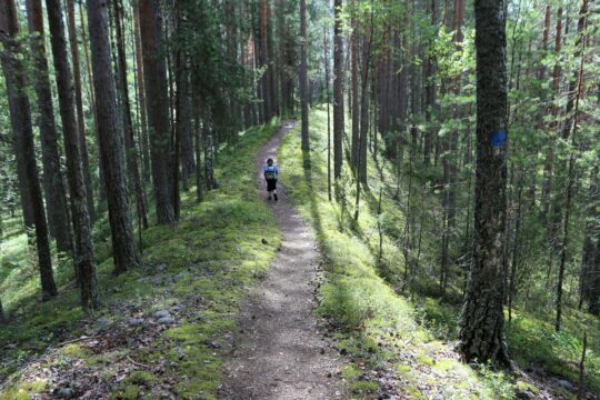
Forest trails
Versatile outdoor trails and interesting natural attractions offer tranquil forests and space to breathe. Beautiful eskers, lake shores, stunning views and the feel of wilderness – there is something for everyone.
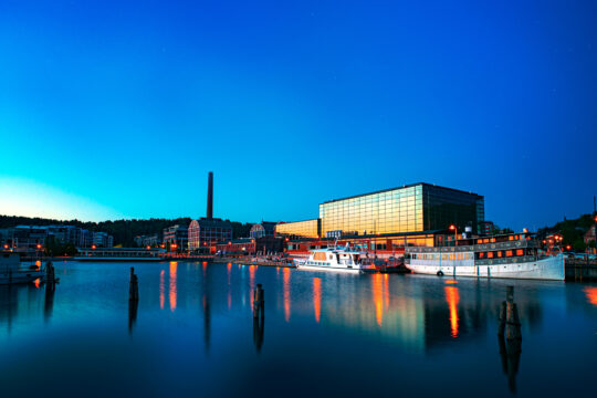
Cultural heritage
Churches full of history, fascinating museums and the built cultural landscape offer plenty of places that deserve a visit. Discover your favourite and embark on a cultural tour.
Urban nature
You do not always need to go far to enjoy the surrounding nature. Here, you can conveniently start your excursion to nature from the city centre.
Geosites
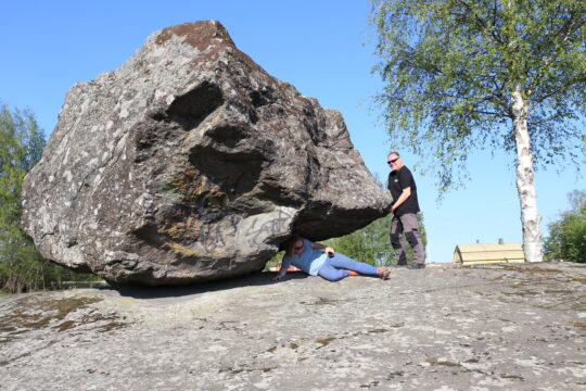
Try moving a rocking boulder that was carried to its place with the continental ice sheet, walk along a path on top of a winding esker, or visit places where the almost two billion year old bedrock is revealed in impressive outcrops.
Outdoor etiquette
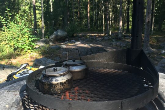
Respecting nature, getting around, camping, lighting fires and litter-free hiking – take note of the summarised tips for excursion etiquette and you are ready to head outdoors. Always check the detailed rules of your excursion destination on the destination page as well.
The Kymenkäänne paddling route
The Kymenkäänne paddling route takes you from Lake Kymijärvi in Lahti through a series of small lakes and streams to the Kymijoki River on the Iitti side. The route begins at Lake Kymijärvi and continues through a chain of lakes to Lake Arrajärvi and on to the Kymijoki River, from which the waters flow into the Gulf of Finland. From the Kymenkäänne in Iitti, you can continue paddling via Vuolenkoski toward Heinola and Lake Päijänne, for example.
Click here to download the PDF map
In Lahti, the route is located within the Salpausselkä UNESCO Global Geopark and has been a well-known recreational canoeing route since the 1970s. The route can be paddled independently using navigation.
Salpausselkä Geopark paddling map
The large lakes connected by two canals are easily accessible in our region. They invite you to enjoy the tranquility of nature and memorable adventures on the water. Our paddling map guides you to the most beautiful routes, sheltered bays, and idyllic rest spots.
Click here to download the PDF map
Nature sights & trails on a map
Check nature sights, trails and routes for cycling and hiking on a digital map. You’ll find also all accommodation, cafes, restaurants, harbours as well as activities on a map.
MapConquer Salpausselkä Geopark on bike
The Salpausselkä Geopark area with its varied terrain and landscapes is great for cycling. We have gathered tips from a cyclist’s perspective for routes on both city streets and rural roads, with numerous points of interest, charming places to rest and a broad range of services along the route. These tips will help you to plan both day trips and longer tours. You will also find here the off-road cycling trails in the region.
Read more12 of the most stunning sites in the Salpausselkä Geopark.
The sites of the Salpausselkä Geopark tell the story of the Ice Age – but at the same time, they offer an opportunity to relax, hike, and be inspired by the beauty of nature. Here are 12 wonderful sites that are definitely worth experiencing.
Explore destinations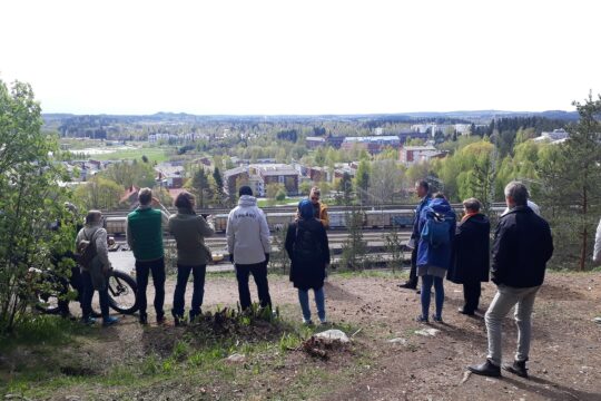
Geopark partners
An essential element of geopark activities is co-operation with local companies. Salpausselkä UNESCO Global Geopark is working on a model that allows companies to apply for a partnership with the geopark and then, for example, use the geopark logo in their promotions.
Fostering a sustainable way of life
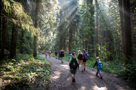
We provide environmental education for a sustainable way of life for learners on all levels from early learning to secondary education. The goals are to educate the children and the young to appreciate the special features of their local environment and to connect a sustainable way of life to their local identity and their sense of belonging to the place.
Contact Salpausselkä Geopark
Salpausselkä UNESCO Global Geopark encompasses six municipalities: Lahti, Hollola, Heinola, Asikkala, Padasjoki and Sysmä. The work of Salpausselkä Geopark is coordinated and managed by the geopark staff within the regional tourism company Lahden Seutu – Lahti Region Ltd. The geopark staff work in close co-operation with the local authorities and other local actors committed to developing the geopark.